
Lago Rogagua topographic map
Interactive map
Click on the map to display elevation.
About this map
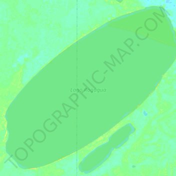
Name: Lago Rogagua topographic map, elevation, terrain.
Average elevation: 551 ft
Minimum elevation: 531 ft
Maximum elevation: 587 ft
Other topographic maps
Click on a map to view its topography, its elevation and its terrain.
Mancornadas Lake
Bolivia > Beni > General José Ballivián Segurola > Santa Rosa
Mancornadas Lake, Santa Rosa, General José Ballivián Segurola, Beni, Bolivia
Average elevation: 538 ft