
Djelloula topographic map
Interactive map
Click on the map to display elevation.
About this map
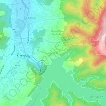
Name: Djelloula topographic map, elevation, terrain.
Location: Djelloula, Kherrouba, Daïra Boudouaou, Boumerdès, 35450, Algérie (36.63733 3.40072 36.67733 3.44072)
Average elevation: 551 ft
Minimum elevation: 108 ft
Maximum elevation: 1,617 ft