
Santuario Nacional Pampa Hermosa topographic map
Interactive map
Click on the map to display elevation.
About this map
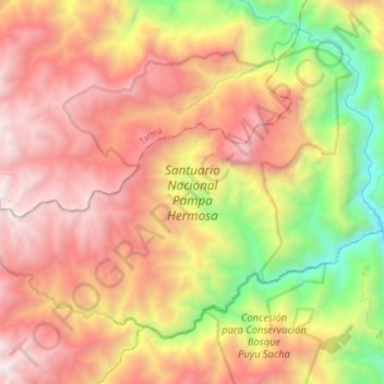
Name: Santuario Nacional Pampa Hermosa topographic map, elevation, terrain.
Location: Santuario Nacional Pampa Hermosa, Chanchamayo, Junín, Perú (-11.10134 -75.57582 -10.98572 -75.42060)
Average elevation: 8,301 ft
Minimum elevation: 3,281 ft
Maximum elevation: 12,654 ft
Other topographic maps
Click on a map to view its topography, its elevation and its terrain.