
La Vicaría topographic map
Interactive map
Click on the map to display elevation.
About this map
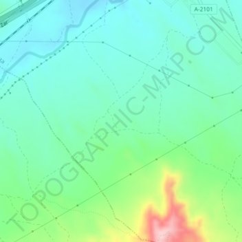
Name: La Vicaría topographic map, elevation, terrain.
Location: La Vicaría, Botorrita, Zaragoza, Aragón, 50441, España (41.48059 -1.04781 41.50059 -1.02781)
Average elevation: 1,375 ft
Minimum elevation: 1,184 ft
Maximum elevation: 1,932 ft