
Sütçüler topographic map
Interactive map
Click on the map to display elevation.
About this map
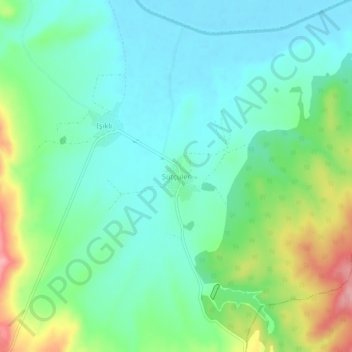
Name: Sütçüler topographic map, elevation, terrain.
Location: Sütçüler, Enez, Edirne, Marmara Region, Turkey (40.69147 26.29917 40.73147 26.33917)
Average elevation: 125 ft
Minimum elevation: -3 ft
Maximum elevation: 433 ft