
Wangara topographic map
Interactive map
Click on the map to display elevation.
About this map
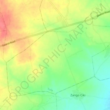
Name: Wangara topographic map, elevation, terrain.
Location: Wangara, Tofa, Kano State, Nigeria (11.94678 8.26594 11.99712 8.33399)
Average elevation: 1,614 ft
Minimum elevation: 1,532 ft
Maximum elevation: 1,690 ft