
Bradner topographic map
Interactive map
Click on the map to display elevation.
About this map
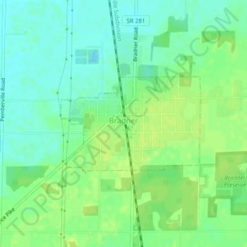
Name: Bradner topographic map, elevation, terrain.
Location: Bradner, Wood County, Ohio, USA (41.31871 -83.44766 41.32900 -83.42732)
Average elevation: 692 ft
Minimum elevation: 666 ft
Maximum elevation: 715 ft