
Calheta topographic map
Interactive map
Click on the map to display elevation.
About this map
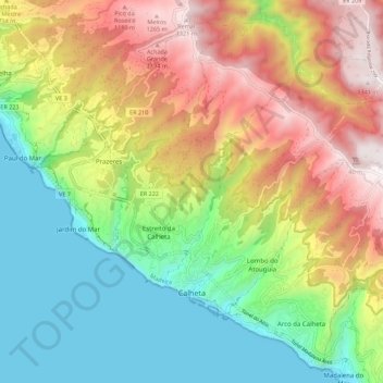
Name: Calheta topographic map, elevation, terrain.
Location: Calheta, Madeira, Portugal (32.71619 -17.18634 32.77696 -17.07552)
Average elevation: 1,814 ft
Minimum elevation: 0 ft
Maximum elevation: 4,400 ft