
Mora topographic map
Interactive map
Click on the map to display elevation.
About this map
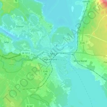
Name: Mora topographic map, elevation, terrain.
Location: Mora, Comté de Dalécarlie, Svealand, 79280, Suède (60.96821 14.50313 61.04821 14.58313)
Average elevation: 581 ft
Minimum elevation: 499 ft
Maximum elevation: 938 ft