Cerro Lirima topographic map
Interactive map
Click on the map to display elevation.
About this map
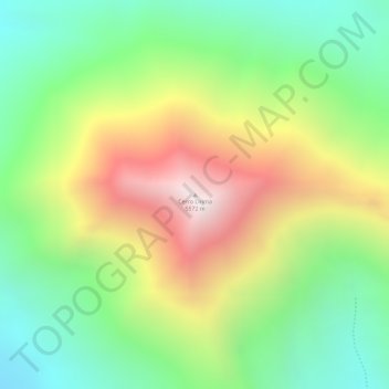
Name: Cerro Lirima topographic map, elevation, terrain.
Average elevation: 16,447 ft
Minimum elevation: 15,082 ft
Maximum elevation: 18,228 ft

Click on the map to display elevation.
Name: Cerro Lirima topographic map, elevation, terrain.
Average elevation: 16,447 ft
Minimum elevation: 15,082 ft
Maximum elevation: 18,228 ft