
洛阳镇 topographic map
Interactive map
Click on the map to display elevation.
About this map
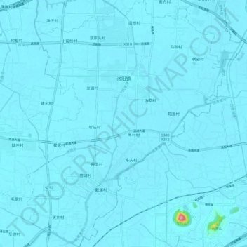
Name: 洛阳镇 topographic map, elevation, terrain.
Location: 洛阳镇, 武进区, 常州市, 江苏省, 213100, 中国 (31.57851 120.02471 31.67920 120.12004)
Average elevation: 20 ft
Minimum elevation: 0 ft
Maximum elevation: 594 ft
Other topographic maps
Click on a map to view its topography, its elevation and its terrain.