
Scheggino topographic map
Interactive map
Click on the map to display elevation.
About this map
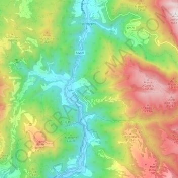
Name: Scheggino topographic map, elevation, terrain.
Location: Scheggino, PG, Umbría, 06040, Italia (42.64085 12.78259 42.72339 12.89325)
Average elevation: 2,661 ft
Minimum elevation: 827 ft
Maximum elevation: 5,512 ft