
Gronau topographic map
Interactive map
Click on the map to display elevation.
About this map
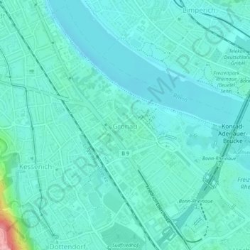
Name: Gronau topographic map, elevation, terrain.
Average elevation: 200 ft
Minimum elevation: 138 ft
Maximum elevation: 571 ft
Other topographic maps
Click on a map to view its topography, its elevation and its terrain.
Schweinheim
Allemagne > Rhénanie-du-Nord-Westphalie > Bonn
Schweinheim, Bad Godesberg, Bonn, Rhénanie-du-Nord-Westphalie, 53177, Allemagne
Average elevation: 433 ft
Bonn
Allemagne > Rhénanie-du-Nord-Westphalie > Bonn
Bonn, District de Cologne, Rhénanie-du-Nord-Westphalie, 53111, Allemagne
Average elevation: 453 ft
Kessenich
Allemagne > Rhénanie-du-Nord-Westphalie > Bonn
Kessenich, Stadtbezirk Bonn, Bonn, Rhénanie-du-Nord-Westphalie, 53129, Allemagne
Average elevation: 276 ft