
Mont-la-Ville topographic map
Interactive map
Click on the map to display elevation.
About this map
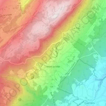
Name: Mont-la-Ville topographic map, elevation, terrain.
Location: Mont-la-Ville, District de Morges, Vaud, 1148, Switzerland (46.63440 6.34650 46.67214 6.43468)
Average elevation: 3,051 ft
Minimum elevation: 1,949 ft
Maximum elevation: 4,275 ft