
Woodside topographic map
Interactive map
Click on the map to display elevation.
About this map
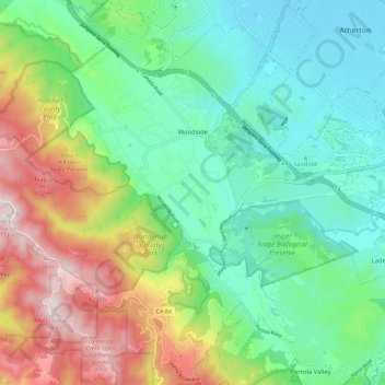
Name: Woodside topographic map, elevation, terrain.
Location: Woodside, San Mateo County, California, 94062, USA (37.37054 -122.30391 37.46081 -122.22393)
Average elevation: 797 ft
Minimum elevation: 49 ft
Maximum elevation: 2,356 ft