
Villa García topographic map
Interactive map
Click on the map to display elevation.
About this map
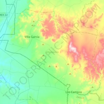
Name: Villa García topographic map, elevation, terrain.
Location: Villa García, Zacatecas, Mexico (22.01998 -102.04522 22.23075 -101.77142)
Average elevation: 7,119 ft
Minimum elevation: 6,480 ft
Maximum elevation: 8,537 ft
Other topographic maps
Click on a map to view its topography, its elevation and its terrain.