
La Cancela topographic map
Interactive map
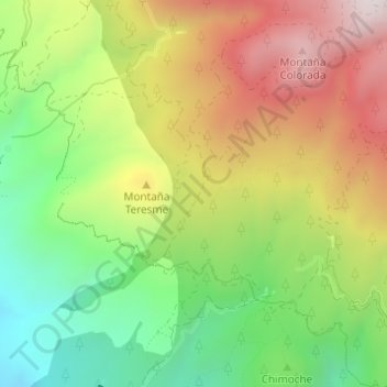
Click on the map to display elevation.
About this map
Name: La Cancela topographic map, elevation, terrain.
Location: La Cancela, Adeje, Santa Cruz de Tenerife, Canárias, Espanha (28.17448 -16.69450 28.17625 -16.69266)
Average elevation: 5,121 ft
Minimum elevation: 3,963 ft
Maximum elevation: 6,486 ft