
Caledon topographic map
Interactive map
Click on the map to display elevation.
About this map
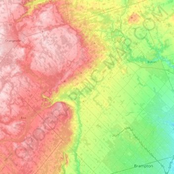
Name: Caledon topographic map, elevation, terrain.
Location: Caledon, Peel Region, Ontario, Canadá (43.67487 -80.14412 43.98976 -79.69482)
Average elevation: 1,010 ft
Minimum elevation: 509 ft
Maximum elevation: 1,588 ft