Red Eagle Glacier topographic map
Interactive map
Click on the map to display elevation.
About this map
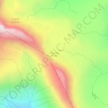
Name: Red Eagle Glacier topographic map, elevation, terrain.
Average elevation: 6,890 ft
Minimum elevation: 5,020 ft
Maximum elevation: 8,944 ft

Click on the map to display elevation.
Name: Red Eagle Glacier topographic map, elevation, terrain.
Average elevation: 6,890 ft
Minimum elevation: 5,020 ft
Maximum elevation: 8,944 ft