
Chacana topographic map
Interactive map
Click on the map to display elevation.
About this map
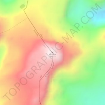
Name: Chacana topographic map, elevation, terrain.
Location: Chacana, Oyacachi, Cantón El Chaco, Napo, Ecuador (-0.21358 -78.18547 -0.21348 -78.18537)
Average elevation: 13,770 ft
Minimum elevation: 12,625 ft
Maximum elevation: 14,613 ft