
Ewen Maddock Dam topographic map
Interactive map
Click on the map to display elevation.
About this map
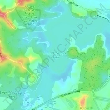
Name: Ewen Maddock Dam topographic map, elevation, terrain.
Average elevation: 102 ft
Minimum elevation: 39 ft
Maximum elevation: 285 ft
Other topographic maps
Click on a map to view its topography, its elevation and its terrain.
Landsborough
Australia > Queensland > Landsborough
Landsborough, Sunshine Coast, Queensland, 4550, Australia
Average elevation: 226 ft
Dularcha National Park
Australia > Queensland > Landsborough > Mooloolah
Dularcha National Park, Dlurcha Drive, Landsborough, Queensland, 4553, Australia
Average elevation: 246 ft