
Mashishing (Lydenburg) topographic map
Interactive map
Click on the map to display elevation.
About this map
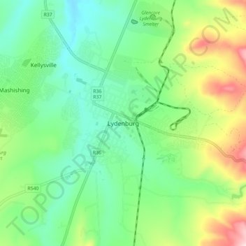
Name: Mashishing (Lydenburg) topographic map, elevation, terrain.
Average elevation: 4,754 ft
Minimum elevation: 4,357 ft
Maximum elevation: 5,623 ft