
Bélair topographic map
Interactive map
Click on the map to display elevation.
About this map
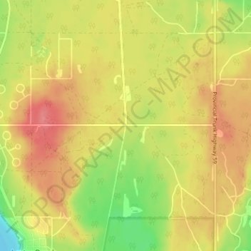
Name: Bélair topographic map, elevation, terrain.
Location: Bélair, Manitoba, R0E 0E0, Canada (50.58666 -96.57242 50.62666 -96.53242)
Average elevation: 840 ft
Minimum elevation: 705 ft
Maximum elevation: 932 ft