
Fassett topographic map
Interactive map
Click on the map to display elevation.
About this map
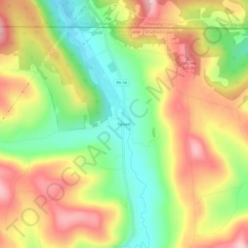
Name: Fassett topographic map, elevation, terrain.
Location: Fassett, Bradford County, Pennsylvania, 16925, USA (41.96619 -76.79329 42.00619 -76.75329)
Average elevation: 1,427 ft
Minimum elevation: 1,066 ft
Maximum elevation: 1,801 ft