
遮山镇 topographic map
Interactive map
Click on the map to display elevation.
About this map
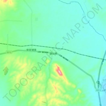
Name: 遮山镇 topographic map, elevation, terrain.
Location: 遮山镇, 南阳市, 河南省, 中国 (33.00464 112.31167 33.08464 112.39167)
Average elevation: 607 ft
Minimum elevation: 453 ft
Maximum elevation: 1,142 ft
Other topographic maps
Click on a map to view its topography, its elevation and its terrain.