
Mazatepec topographic map
Interactive map
Click on the map to display elevation.
About this map
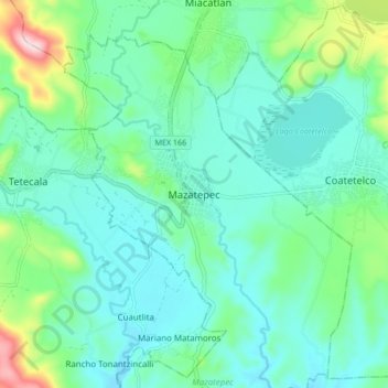
Name: Mazatepec topographic map, elevation, terrain.
Location: Mazatepec, Morelos, 62620, México (18.68627 -99.40252 18.76627 -99.32252)
Average elevation: 3,278 ft
Minimum elevation: 3,064 ft
Maximum elevation: 4,078 ft