
Clear Lake Wildlife Management Area topographic map
Interactive map
Click on the map to display elevation.
About this map
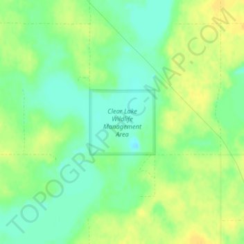
Name: Clear Lake Wildlife Management Area topographic map, elevation, terrain.
Average elevation: 2,018 ft
Minimum elevation: 1,975 ft
Maximum elevation: 2,054 ft
Other topographic maps
Click on a map to view its topography, its elevation and its terrain.
Zeeland
United States > North Dakota > McIntosh County
Zeeland, McIntosh County, North Dakota, United States
Average elevation: 2,024 ft