
Wieldrecht topographic map
Interactive map
Click on the map to display elevation.
About this map
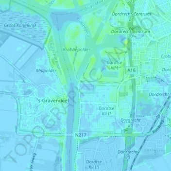
Name: Wieldrecht topographic map, elevation, terrain.
Location: Wieldrecht, Zuid-Holland, Nederland, 3316BJ, Nederland (51.76410 4.61223 51.80410 4.65223)
Average elevation: 3 ft
Minimum elevation: -13 ft
Maximum elevation: 33 ft