
Lac des Cygnes topographic map
Interactive map
Click on the map to display elevation.
About this map
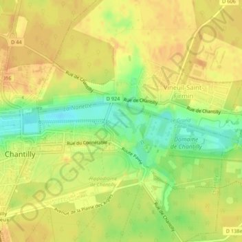
Name: Lac des Cygnes topographic map, elevation, terrain.
Average elevation: 180 ft
Minimum elevation: 108 ft
Maximum elevation: 220 ft
Other topographic maps
Click on a map to view its topography, its elevation and its terrain.
Étang de Sylvie
France > Hauts-de-France > Chantilly
Étang de Sylvie, Route du Pont du Roi, Chantilly, Senlis, Oise, Hauts-de-France, France métropolitaine, 60500, France
Average elevation: 180 ft