
Sant Martí d'Aravó topographic map
Interactive map
Click on the map to display elevation.
About this map
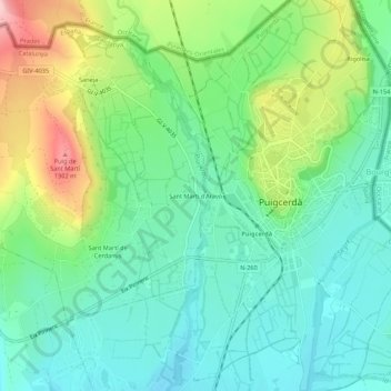
Name: Sant Martí d'Aravó topographic map, elevation, terrain.
Average elevation: 3,858 ft
Minimum elevation: 3,642 ft
Maximum elevation: 4,344 ft