
Derebağ topographic map
Interactive map
Click on the map to display elevation.
About this map
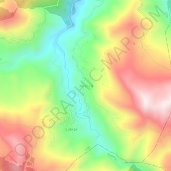
Name: Derebağ topographic map, elevation, terrain.
Location: Derebağ, Cide, Kastamonu, Région de la mer Noire, Turquie (41.91577 33.30109 41.95577 33.34109)
Average elevation: 1,617 ft
Minimum elevation: 469 ft
Maximum elevation: 2,900 ft