
Coudekerque-Village topographic map
Interactive map
Click on the map to display elevation.
About this map
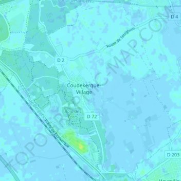
Name: Coudekerque-Village topographic map, elevation, terrain.
Average elevation: 3 ft
Minimum elevation: -10 ft
Maximum elevation: 39 ft
Other topographic maps
Click on a map to view its topography, its elevation and its terrain.
Téteghem
France > Hauts-de-France > Nord > Téteghem-Coudekerque-Village
Téteghem, Téteghem-Coudekerque-Village, Dunkerque, Nord, Hauts-de-France, France métropolitaine, 59229, France
Average elevation: 0 ft