
La Paloma topographic map
Interactive map
Click on the map to display elevation.
About this map
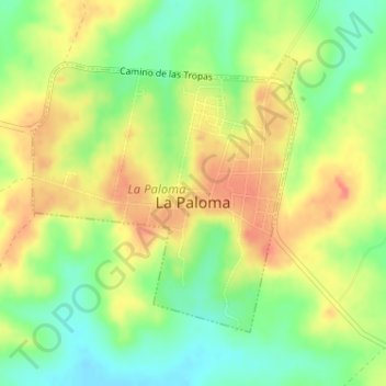
Name: La Paloma topographic map, elevation, terrain.
Location: La Paloma, Durazno, 97004, Uruguay (-32.73676 -55.59304 -32.71735 -55.57098)
Average elevation: 459 ft
Minimum elevation: 364 ft
Maximum elevation: 545 ft