
Sungai Baleh topographic map
Interactive map
Click on the map to display elevation.
About this map
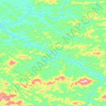
Name: Sungai Baleh topographic map, elevation, terrain.
Location: Sungai Baleh, Kapit, Sarawak, Malaysia (1.88703 113.17496 2.02246 113.44653)
Average elevation: 518 ft
Minimum elevation: 36 ft
Maximum elevation: 2,192 ft
Other topographic maps
Click on a map to view its topography, its elevation and its terrain.
Sungai Baleh
Sungai Baleh, Kapit, Sarawak, Malaysia
Average elevation: 292 ft
Kapit Division
Kapit Division, Kapit, Sarawak, 96800, Malaysia
Average elevation: 843 ft