
Lavender topographic map
Interactive map
Click on the map to display elevation.
About this map
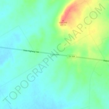
Name: Lavender topographic map, elevation, terrain.
Location: Lavender, Limestone County, Texas, USA (31.51461 -96.67582 31.55461 -96.63582)
Average elevation: 545 ft
Minimum elevation: 492 ft
Maximum elevation: 666 ft