
红水河 topographic map
Interactive map
Click on the map to display elevation.
About this map
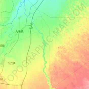
Name: 红水河 topographic map, elevation, terrain.
Location: 红水河, Wuwei, 凉州区, 武威市, 甘肃省, RPC (38.01360 102.74750 38.21076 102.82352)
Average elevation: 4,846 ft
Minimum elevation: 4,734 ft
Maximum elevation: 5,000 ft