Geolocate

Darnytskyi district topographic map

Click on the map to display elevation.

About this map

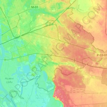
Name: Darnytskyi district topographic map, elevation, terrain.

Location: Darnytskyi district, Kyiv, Ukraine (50.33727 30.58327 50.46990 30.82636)

Average elevation: 371 ft

Minimum elevation: 285 ft

Maximum elevation: 486 ft

Other topographic maps

Click on a map to view its topography, its elevation and its terrain.

Пронівщина

Ukraine > Kyiv

Average elevation: 571 ft

Gear up for your next adventure:

🧤Tactile Hiking Gloves - Keep hands warm while operating GPS and smartphone screens
🏔️Mountain Trail Maps - High‑detail maps for popular peaks
🧣Merino Neck Gaiters - Multi-functional headwear for wind and sun protection
💧Water Filtration Bottles - Safely drink from streams and lakes while exploring
📖Nature Tracking Books - Learn to track wildlife and terrain

As an Amazon Associate, this site earns from qualifying purchases at no extra cost to you.