
Nantasket Beach topographic map
Interactive map
Click on the map to display elevation.
About this map
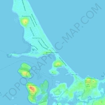
Name: Nantasket Beach topographic map, elevation, terrain.
Location: Nantasket Beach, Plymouth County, Massachusetts, 02045, USA (42.25788 -70.88616 42.29788 -70.84616)
Average elevation: 7 ft
Minimum elevation: -7 ft
Maximum elevation: 131 ft