
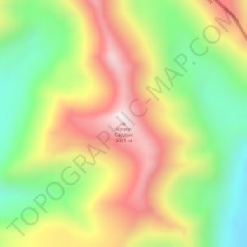
Munku Sardyk topographic map
Interactive map
Click on the map to display elevation.
About this map
Name: Munku Sardyk topographic map, elevation, terrain.
Location: Munku Sardyk, Renchinlhumbe, Hovsgel, Mongolia (51.73118 100.25237 51.73128 100.25247)
Average elevation: 8,898 ft
Minimum elevation: 7,753 ft
Maximum elevation: 10,157 ft
Other topographic maps
Click on a map to view its topography, its elevation and its terrain.