
Boufarik topographic map
Interactive map
Click on the map to display elevation.
About this map
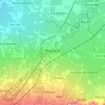
Name: Boufarik topographic map, elevation, terrain.
Location: Boufarik, Daïra Boufarik, Blida, Algérie (36.52914 2.85657 36.61857 2.97944)
Average elevation: 187 ft
Minimum elevation: 33 ft
Maximum elevation: 564 ft