
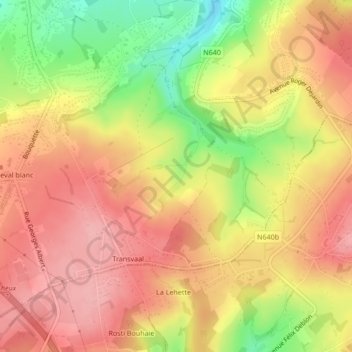
Winster topographic map
Interactive map
Click on the map to display elevation.
About this map
Name: Winster topographic map, elevation, terrain.
Location: Winster, Verviers, Liège, Wallonia, 4800, Belgium (50.55249 5.87404 50.57249 5.89404)
Average elevation: 1,020 ft
Minimum elevation: 771 ft
Maximum elevation: 1,171 ft