
Surala topographic map
Interactive map
Click on the map to display elevation.
About this map
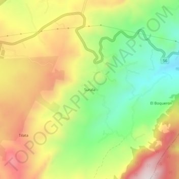
Name: Surala topographic map, elevation, terrain.
Location: Surala, Chocontá, Colombia (5.06667 -73.68602 5.10667 -73.64602)
Average elevation: 8,688 ft
Minimum elevation: 7,730 ft
Maximum elevation: 9,744 ft