
Marib district topographic map
Interactive map
Click on the map to display elevation.
About this map
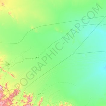
Name: Marib district topographic map, elevation, terrain.
Location: Marib district, Marib Governorate, Yemen (15.08075 45.21147 16.16188 46.81083)
Average elevation: 3,284 ft
Minimum elevation: 2,628 ft
Maximum elevation: 7,503 ft
Other topographic maps
Click on a map to view its topography, its elevation and its terrain.
Al Bahah
Yemen > Marib Governorate > Sanumah
Al Bahah, Sanumah, Sirwah district, Marib Governorate, Yemen
Average elevation: 5,220 ft
Al Muthanna
Yemen > Marib Governorate > Al Muthanna
Al Muthanna, Marib City District, Marib Governorate, Yemen
Average elevation: 3,635 ft