
Wahdat Colony topographic map
Interactive map
Click on the map to display elevation.
About this map
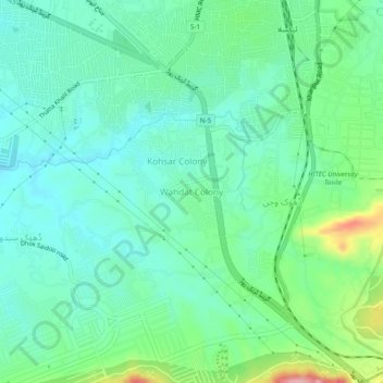
Name: Wahdat Colony topographic map, elevation, terrain.
Location: Wahdat Colony, Tehsil Taxila, Punjab, Pakistan (33.70429 72.78249 33.74429 72.82249)
Average elevation: 1,683 ft
Minimum elevation: 1,549 ft
Maximum elevation: 2,077 ft