
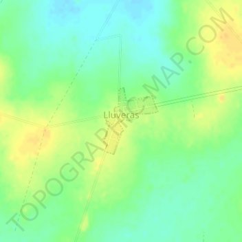
Lluveras topographic map
Interactive map
Click on the map to display elevation.
About this map
Name: Lluveras topographic map, elevation, terrain.
Location: Lluveras, Pueblo Lavalleja, Salto, 50000, Uruguay (-31.10701 -57.06559 -31.09958 -57.05850)
Average elevation: 341 ft
Minimum elevation: 299 ft
Maximum elevation: 387 ft