
Pemba topographic map
Interactive map
Click on the map to display elevation.
About this map
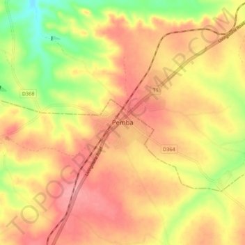
Name: Pemba topographic map, elevation, terrain.
Location: Pemba, Southern Province, Zambia (-16.56073 27.32310 -16.48073 27.40310)
Average elevation: 4,039 ft
Minimum elevation: 3,852 ft
Maximum elevation: 4,154 ft