
Highwoods topographic map
Interactive map
Click on the map to display elevation.
About this map
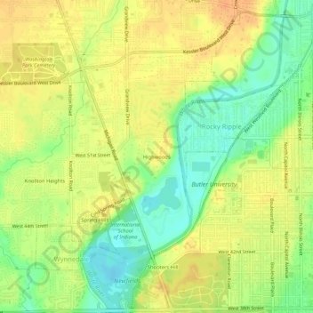
Name: Highwoods topographic map, elevation, terrain.
Location: Highwoods, Marion County, Indiana, 46228, USA (39.82421 -86.20332 39.86421 -86.16332)
Average elevation: 755 ft
Minimum elevation: 686 ft
Maximum elevation: 804 ft