
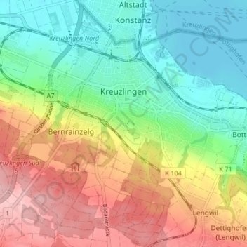
Kreuzlingen topographic map
Interactive map
Click on the map to display elevation.
About this map
Name: Kreuzlingen topographic map, elevation, terrain.
Location: Kreuzlingen, Bezirk Kreuzlingen, Turgovia, 8280, Suiza (47.62084 9.14009 47.66031 9.20596)
Average elevation: 1,509 ft
Minimum elevation: 1,286 ft
Maximum elevation: 1,824 ft