
Benua Melayu Darat topographic map
Interactive map
Click on the map to display elevation.
About this map
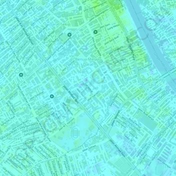
Name: Benua Melayu Darat topographic map, elevation, terrain.
Average elevation: 13 ft
Minimum elevation: 3 ft
Maximum elevation: 30 ft
Other topographic maps
Click on a map to view its topography, its elevation and its terrain.
Siantan Hulu
Indonesia > West Kalimantan > Pontianak
Siantan Hulu, Pontianak Utara, Pontianak, West Kalimantan, Kalimantan, Indonesia
Average elevation: 13 ft
Pontianak
Indonesia > West Kalimantan > Pontianak
Pontianak, West Kalimantan, 78243, Indonesia
Average elevation: 16 ft