
Padeș topographic map
Interactive map
Click on the map to display elevation.
About this map
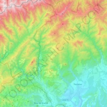
Name: Padeș topographic map, elevation, terrain.
Location: Padeș, Gorj, Romania (44.98946 22.55916 45.27012 22.88003)
Average elevation: 2,723 ft
Minimum elevation: 620 ft
Maximum elevation: 7,454 ft
Other topographic maps
Click on a map to view its topography, its elevation and its terrain.